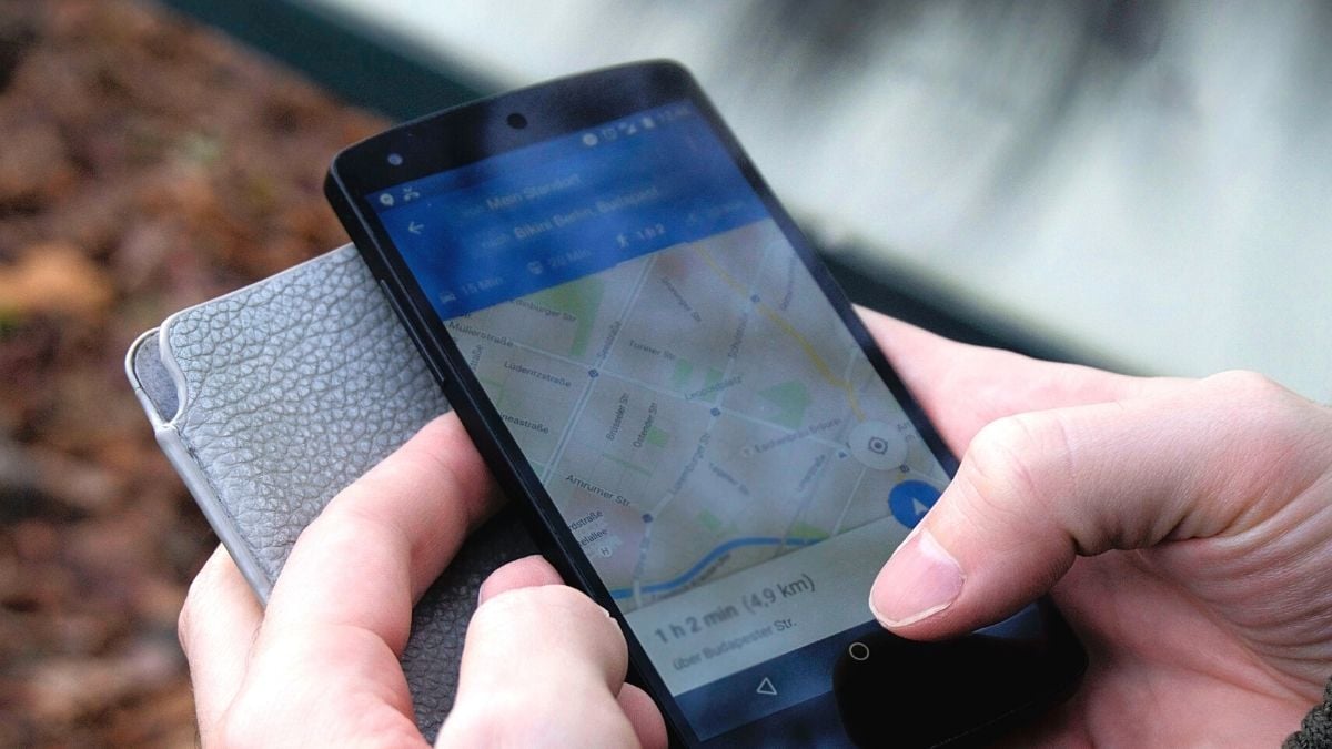
Google added three public transit features to Google Maps in 2019. The features allowed users to check real-time long-distance train status, find bus travel time from traffic in ten cities, and suggest commute route showing auto-rickshaw and public transit. Also Read- How to Share Multiple Contacts on WhatsApp in Simple Steps
Live train status is handy as it shows train arrival time, schedules, delay status and various other information from the app. While there are numerous third-party apps that offer similar functionality, this feature in Google Maps can be useful for Android users who are using budget devices with little storage space. As a reminder, the feature was implemented in partnership with the Where is My Train app, which Google acquired a year before the feature launched. Also Read – Android 13 Features Revealed: Background Effects, Media Controls and More
In case you are wondering how to use this feature and check live train status with Google Maps, here is a guide you can follow: Also Read – Airtel, Vi, Jio Warn of 5G Phone Shortages in India: Here’s Why
Before beginning the process, make sure you have an active Google account.
How to Check Live Train Status via Google Maps
-First open Google Maps on your smartphone.
-Then enter the destination station in the search bar.
– Next, tap on the train icon.
– Then tap the “train” icon located between the “bicycle” and “walk” icons below the destination dialog box.
-Tap on the route option with the train icon inside.
– Then tap on train name to check live train status.
In particular, these features allow users to see the entire route from the current location to the arrival station.


